3G offers a wide range of geospatial management and consulting, but also data sourcing services to our clients:
- Development and implementation of geospatial technology solutions
- Geospatial tender preparation
- GIS, survey and mapping project management
- GIS data and systems integration
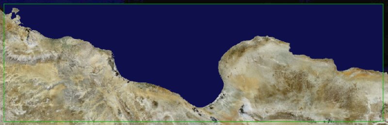
- Aerial and satellite imaging source data
- Hardware, software and geospatial data migration consulting
- Quality assurance and software process improvement
- Manpower evaluation and development
- GIS business process engineering
In order to optimally serve our customers, we are providing satellite images for primary data acquisition and monitoring and offer processing services through our large partner network:
- Since 2010, 3G represents the satellite imaging company RapidEye and their medium-resolution (6.5m and 5m), highly productive constellation of 5 identical satellites in Tunisa and Libya and since 2011 also in Algeria.
- Since 2012, 3G is the authorized reseller for European SpaceImaging (EUSI) in North Africa and Europe, distributing the DigitalGlobe high resolution satellite images from WorldView-1 (50cm panchromatic) WorldView-2 (50cm pan and 1.8m resolution 8-band multispectral) and Quickbird (61cm pan and 2.5m multispectral).
|